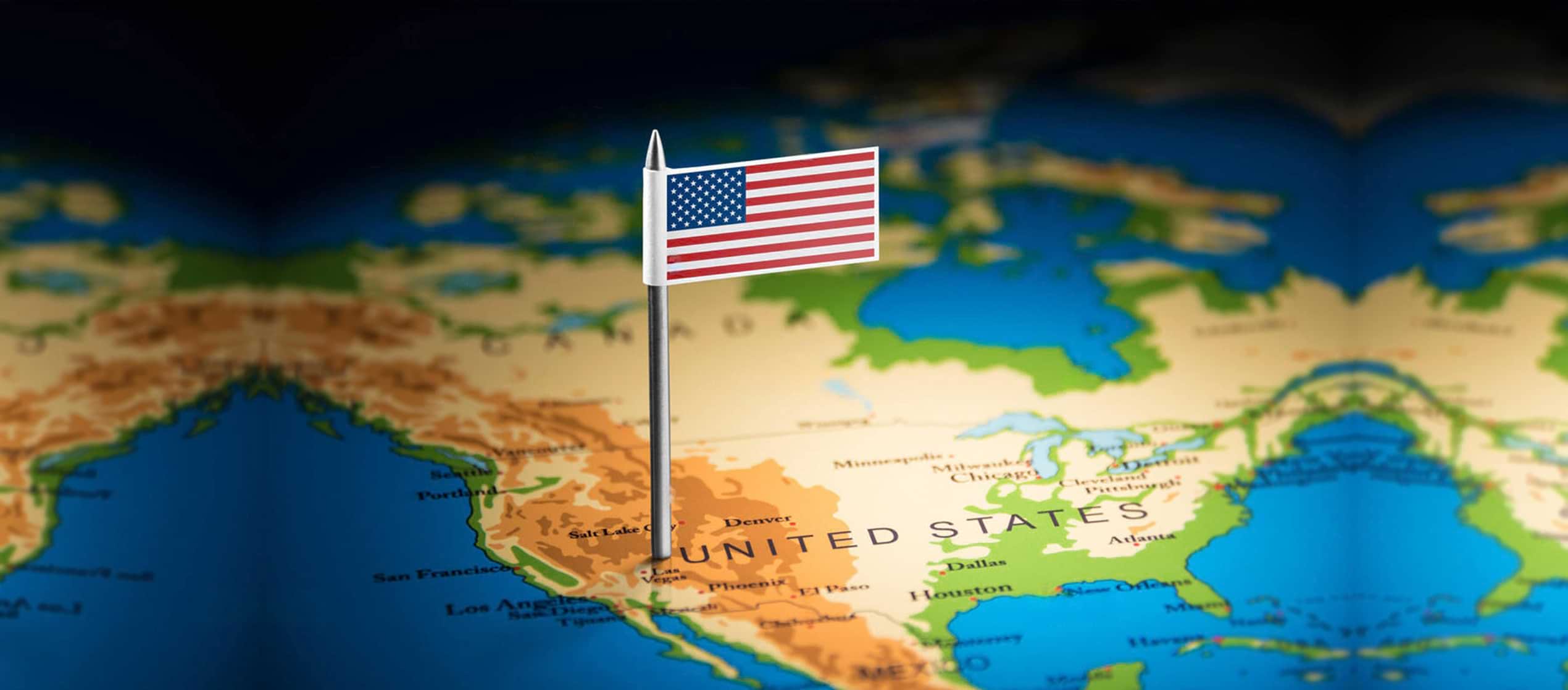
A ZIP code is a numbering system with separate code numbers for all cities in the United States.
On April 30, 1963, Postmaster General John A. Gronouski announced that the ZIP Code would begin on July 1, 1963. The United States Post Office Department introduced the Zone Improvement Plan (ZIP) Code, a coding system that assigned codes on maps to all addresses in the country.
In 1943 the United States Post Office Department divided cities into zones to assist in speeding sorting and mail delivery. By July 1963, a five-digit ZIP code had been assigned to every address throughout the United States map. For more information please see our ZIP Codes Timeline.
There are five digits in the original ZIP Codes. The first digit indicates one of ten large geographic areas in the country, ranging from zero in the Northest to nine in the far West. The second and third digits indicate metropolitan areas and sectional centers accessible to common transportation.The fourth and fifth ZIP Code digits indicate local post offices or postal zones in larger cities.
In 1963 the Zoning Improvement Plan (ZIP) Code system was launched to establish large transportation centers throughout the country to better process and deliver increasing volumes of U.S. Mail.
Two years later, in 1965, a high-speed optical reader was introduced by the USPS. These machines sort mail by reading the address and ZIP Code automatically and prints a bar code on the envelope that corresponds to them. A bar code sorter then reads the bar code and sorts the letters into appropriate holding areas to await delivery.
Sectional Centers are where most mail is processed. If you mail a letter at your local post office and it is not destined within the same ZIP Code or a nearby Zip for mail carriers to deliver, it gets sent to a Sectional Center to be sorted and postmarked before delivery to its final destination.
For more information about the automation of the United States Postal Service, please see our article on ZIP Codes and automation.
In 1983, the United States Postal Service expanded the ZIP Code system to include four more digits. This is called the ZIP + 4 Code. The additional digits identify even more precisely the mail’s destination. According the the United States Post Office, the new sixth and seventh digits indicate a “delivery sector, such as several blocks, a group of streets, a group of post office boxes, several office buildings, or a small geographic area. The last two numbers denote a delivery segment, which might be one floor of an office building, one side of a street between intersecting streets, specific departments in a firm, or a group of post office boxes.”
This new ZIP + 4 Code speeded up mail handling by reducing the number of times a letter had to be handled, and reducing the time mail carriers spent placing their mail in the order of delivery. A multiline Optical Character Reader reads the address, then sprays a barcode representing the ZIP + 4 plus two additional digits indicating the exact delivery street address. Using this barcode database, it can sort the mail in the correct sequence for each carrier’s delivery route.
The United States Postal Service emphasizes the importance of addressing your mail correctly in order to assure timely delivery. According to the Postal Service, “Using the correct ZIP Code helps to direct your mail more efficiently and accurately.” They suggest you use a site such as ZIP-Codes.com to obtain the correct ZIP Code, as well as the correct spelling of the City and State. If you need to get a ZIP Code and don’t have access to the Internet, you can call 1·800·ASK·USPS and get it by phone. Using ZIP code maps can also help and may save you a dime on the call.